Environmental Monitoring
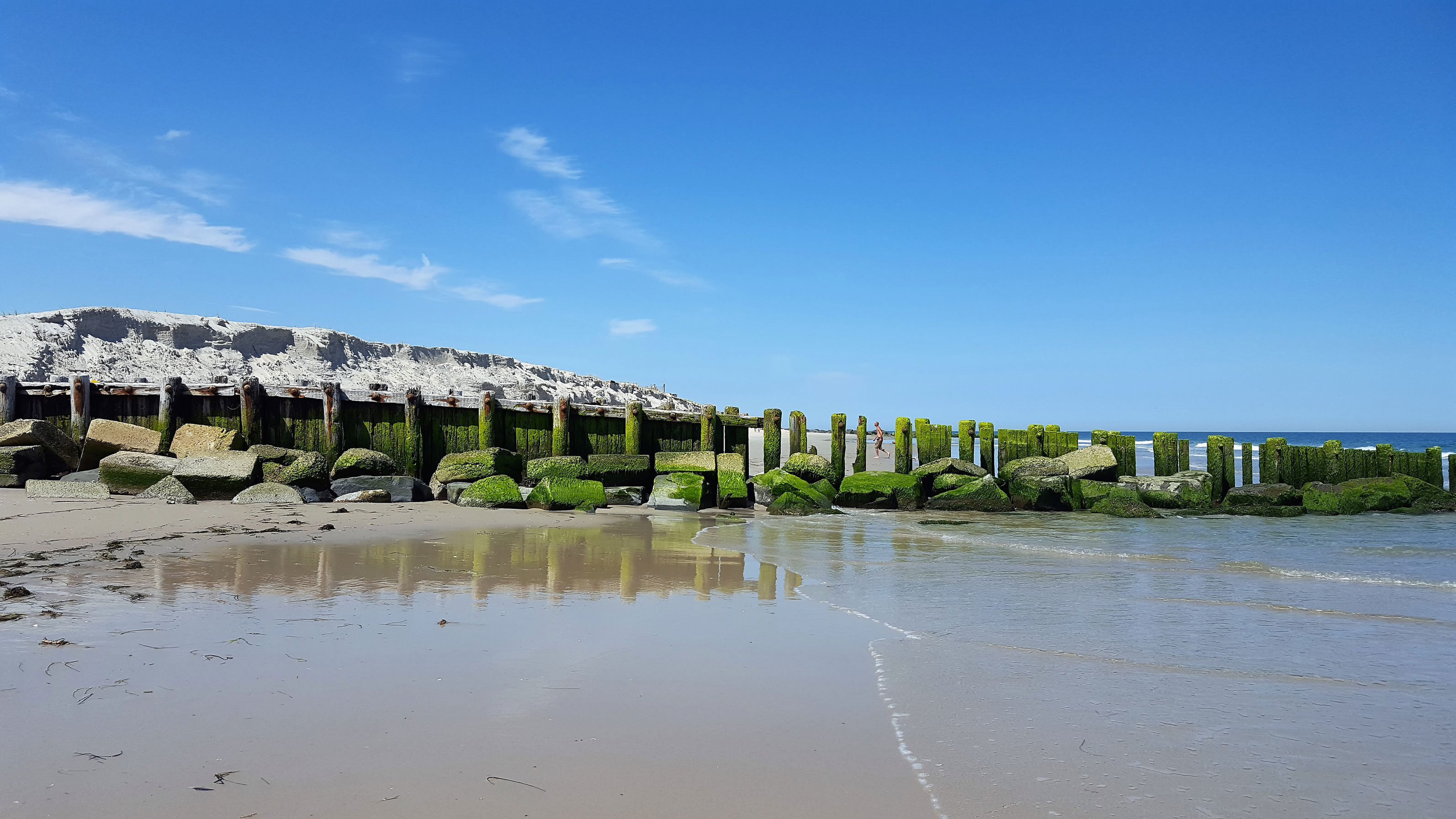 Holgate Terminal Groin (January 2017-June 2017)
The CRC completed a six-month study for the Township of Long Beach to determine the shoreline trends and environmental forcing mechanisms surrounding the Holgate Terminal Groin. The shore-perpendicular timber/pile/rock groin is located at the boundary between the Township and Forsythe NWR- Holgate Unit. Constructed before the historic 1962 Ash Wednesday storm, the terminal groin has deteriorated to a point where it is no longer effective at holding sand. In spring 2016, a federal/state/municipal beach nourishment project commenced to place approximately 2.6 million cubic yards of sand to reconstruct the dune and berm in Area 6 that includes the Holgate section of the Township. Conceptual re-designs of the terminal groin were presented to the Township. The goal of the new designs are to maintain the nourishment project while allowing the bypass of sufficient sand so not to starve the downdrift beaches.